Creating a map with QGIS: Part 1
This section of the tutorial is going to show you how to create a map using a pre-existing dataset.
Download the Natural Earth Quick Start Kit dataset here and extract it.
Now, using the spotlight search open the QGIS software.
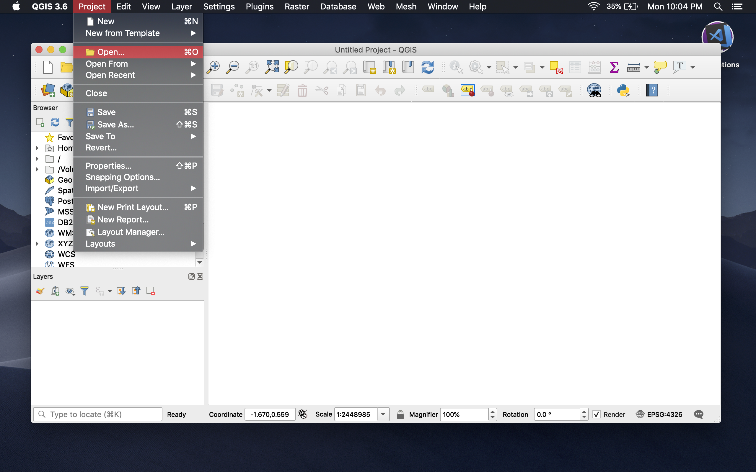
Once QGIS is open, click the Open under Project.
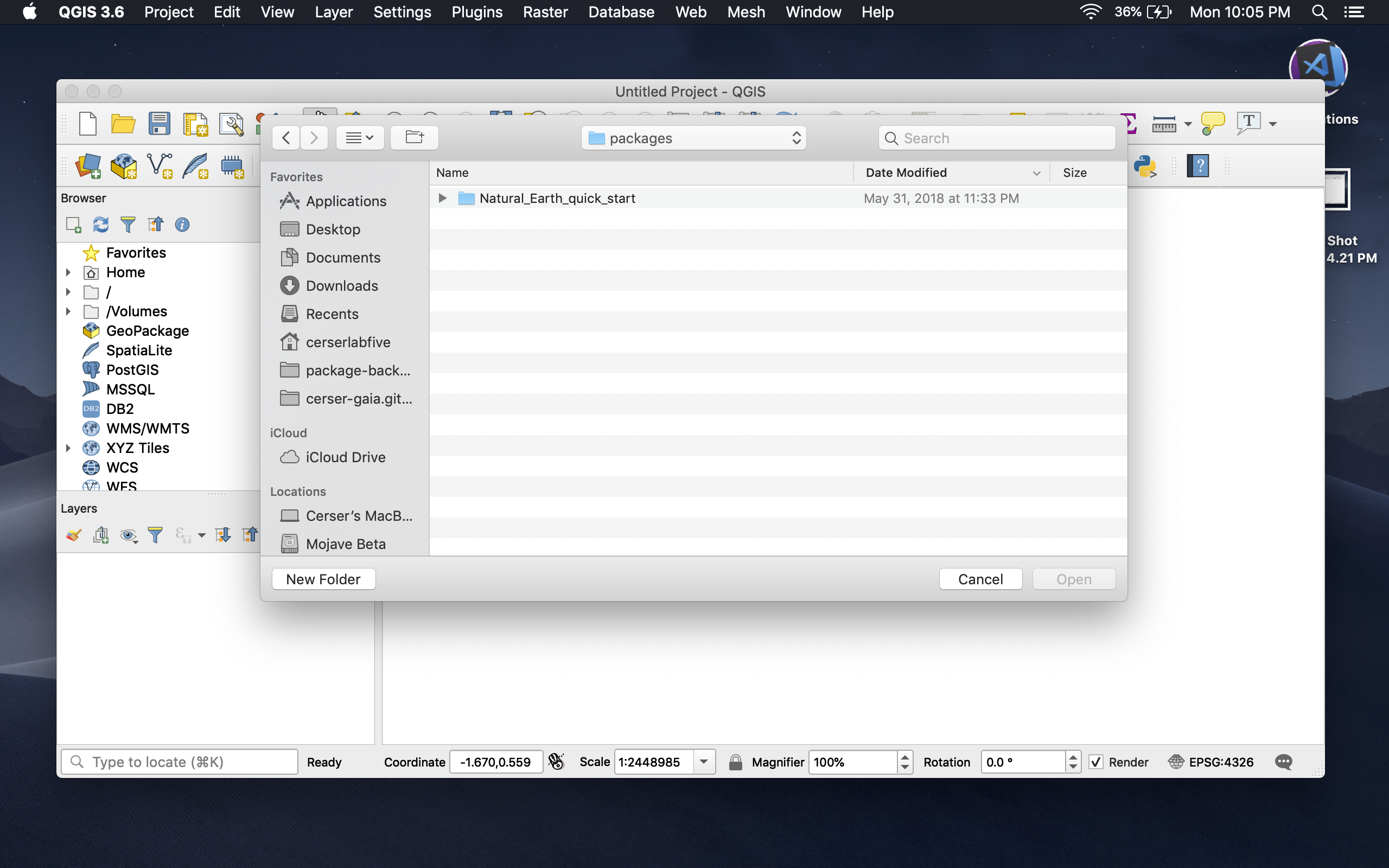
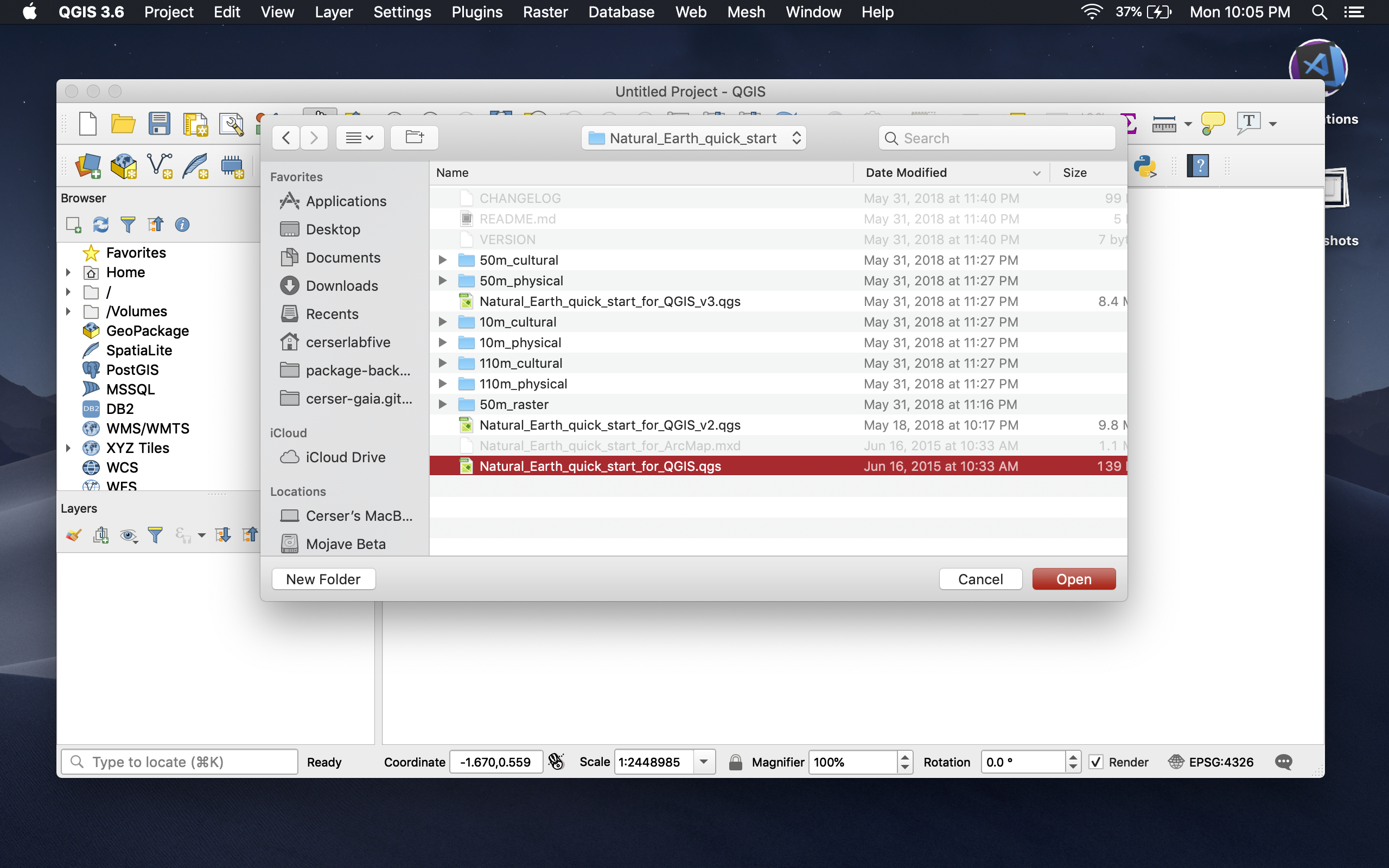
This will open a new window. From here navigate to the extracted folder and select the file titled Natural_Earth_quick_start_for_QGIS.qgs and click open.
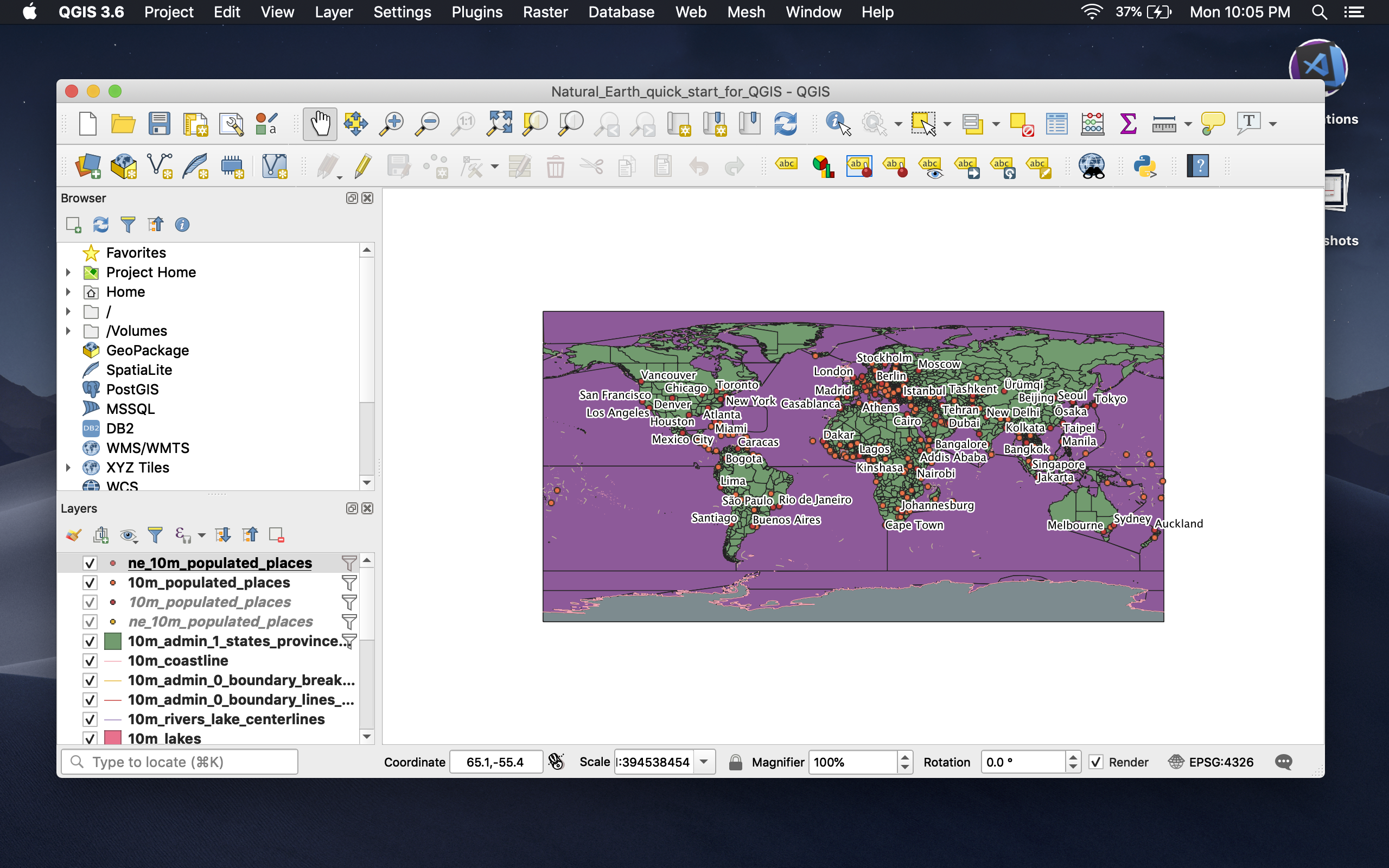
Once the file is open it should look like the following:
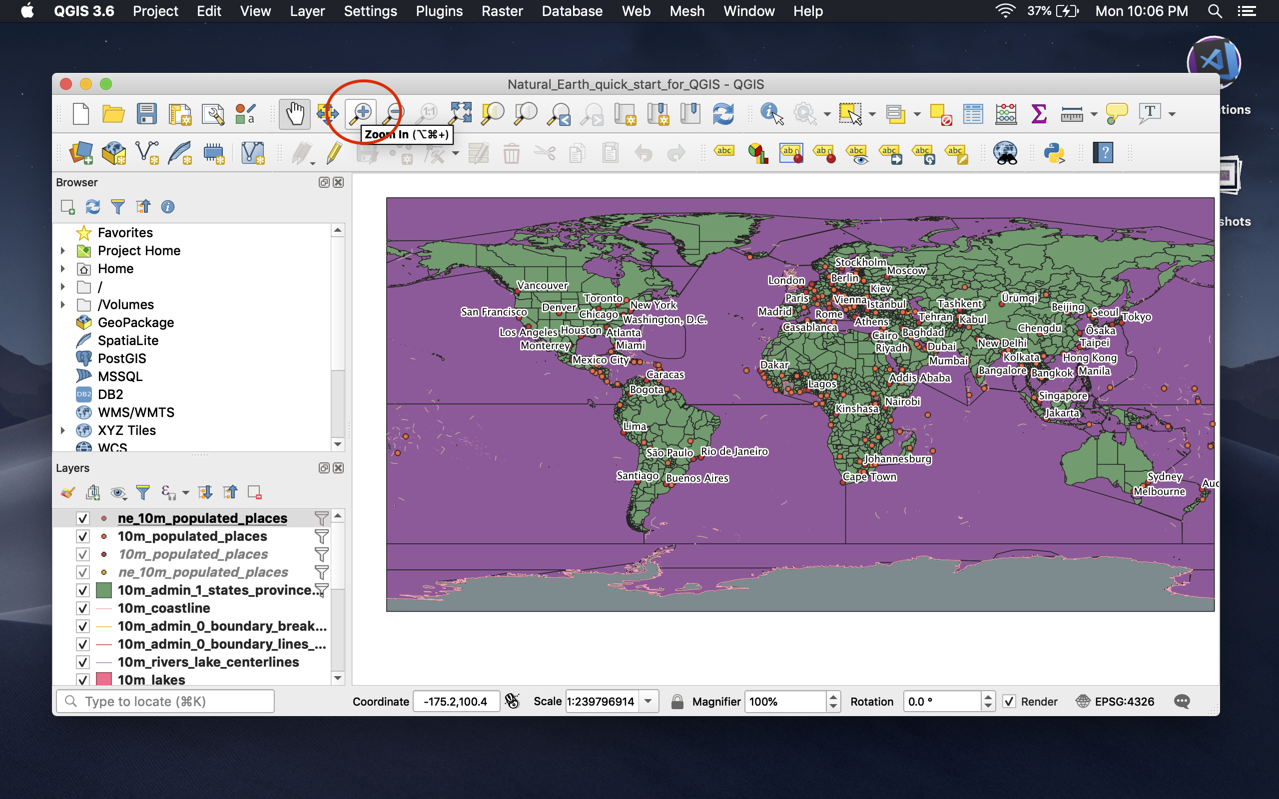
Use the zoom tool (located towards the top of the window) to zoom in on the North Carolna coast.
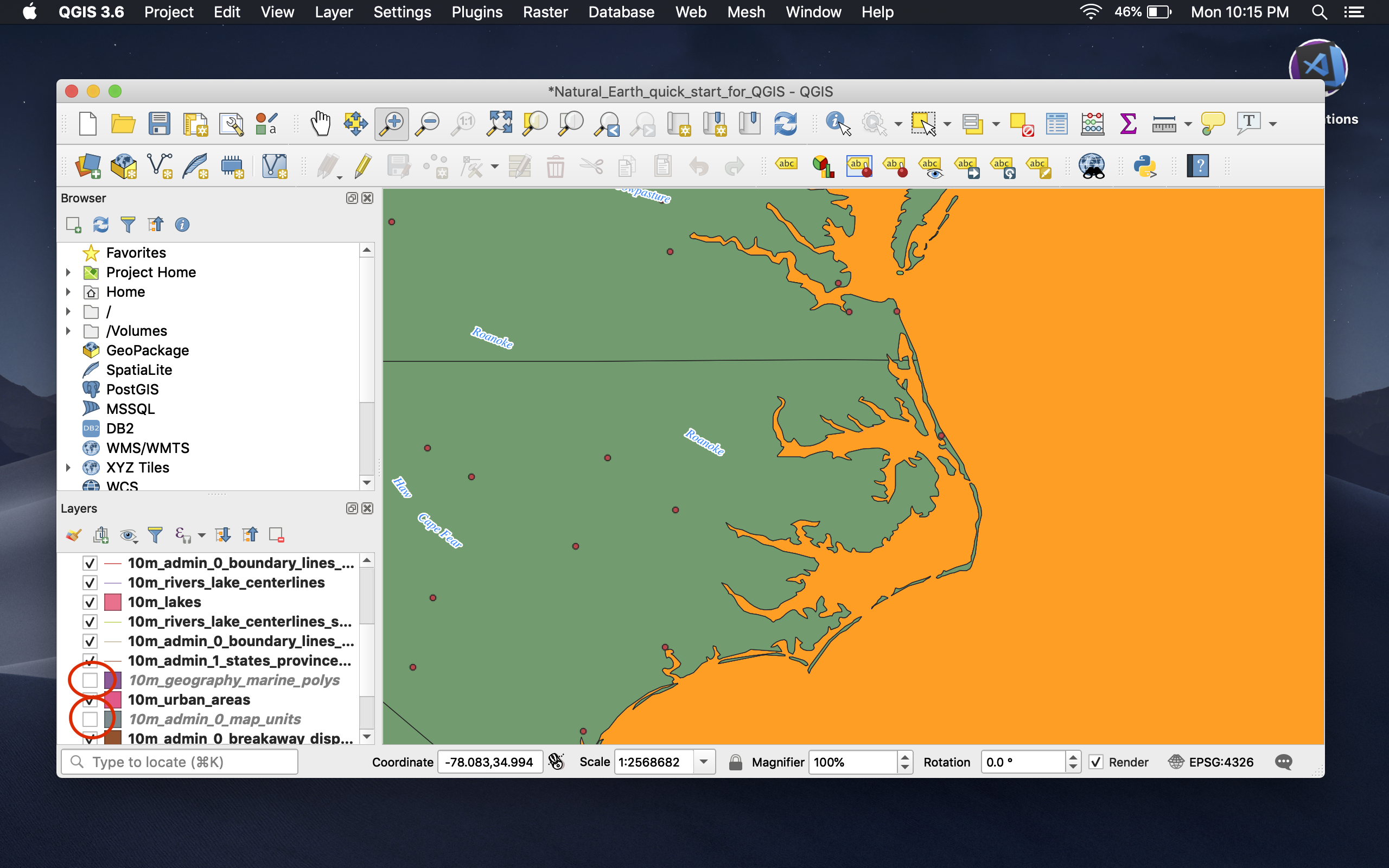
Next, we're going to uncheck a couple of layers. Unchecking a layer removes it from immediate view. This will make our map a bit more readable.
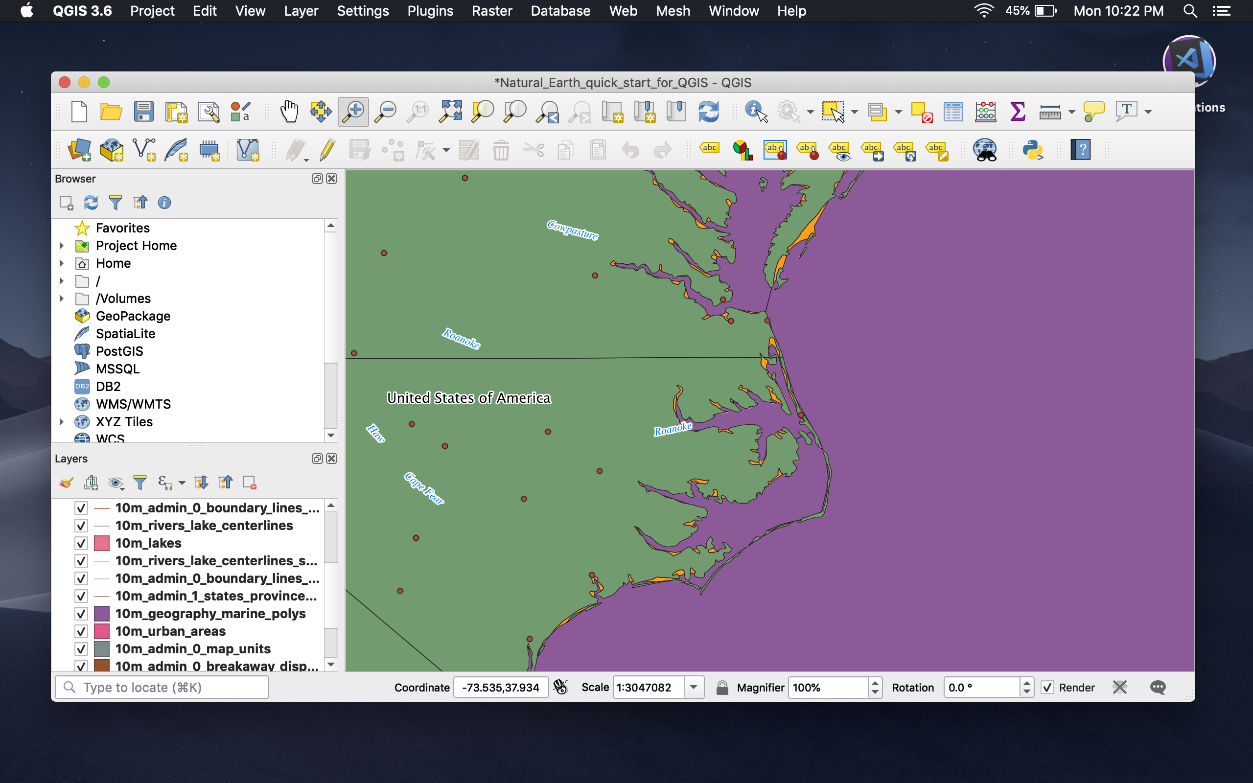
Layers are located in the lower left corner of the window and is label accordingly.
Uncheck the boxes labeled 10m_geography_marine_polys and 10m_admin_0_map_units.
In the next tutorial we will add some standard map elements.
Continue to next tutorial.